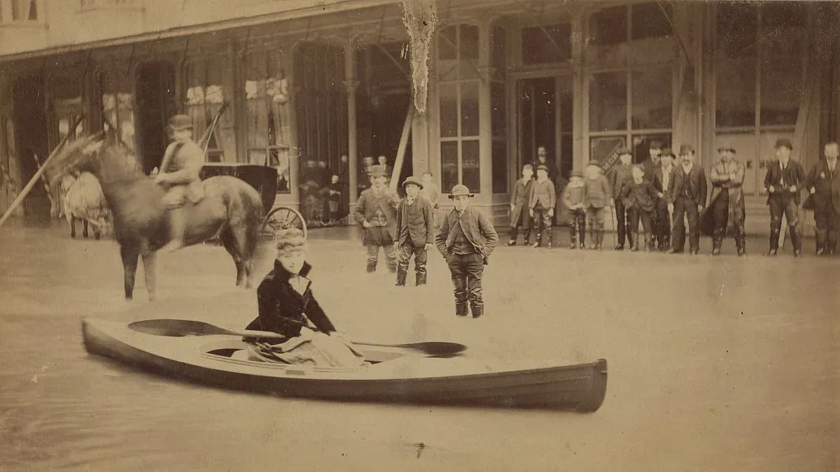
In 1867, a massive flood in western Washington dismantled small towns, swept away livestock and destroyed bridges. New research now suggests that future floods could be even more destructive with the added effects of climate change.
A large contributor to the 1867 flood was the effects of an atmospheric river combined with snowmelt. Now, those effects along with moisture-rich air that brings large rainstorms are increasing in frequency and intensity.
During the 1860s, the especially wet climate on the West Coast can be attributed to the end of a cold period known as the Little Ice Age. This led to mountain glaciers melting as global temperatures were rising.
Because Washington was sparsely populated in the 19th century, historical data on flooding is limited. UO geographer Dan Gavin, who led the study alongside UO climate scientist Patrick Bartlein and professor Cary Mock of the University of South Carolina looked through old microfilm and decoded letters in search of any mention of flooding events. They also complied data from rain gauges around southwest Washington.
During their research, a four-day period of extreme rainfall in December 1867 stood out. Astoria experienced over 12 inches of rain over the four days and Fort Vancouver had over eight inches.
The researchers found that this period was wetter than any other time documented on the modern record.
To estimate the impact of the flood, Gavin and his colleagues looked through historical newspaper articles that noted the damage. Some reports recorded the height of the water about certain buildings. In some spots, floodplains appear to be under more than a meter of water.
Today, a flood of that magnitude would be detrimental to the heavily populated area between Seattle and Portland.
“These floods in the 1860s were fueled without the boost recent storms have from our warming oceans,” Gavin said, “showing the potential for events more extreme than have occurred in recent history.”
—By Laurel Hamers, University Communications
— Read more about the research.
